Pavement Widths Westminster
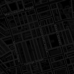
The map is intended to assist with high level planning for things such as street furniture (e.g. EV Charge Points or Bicycle/Scooter Docks) and social distancing measures. The map was created with data from Ordnance Survey and shows the pavement widths of all roads in Westminster. For information on how this map was made, please see here.
Width
0m2m4m6m8m+
Filter
0
10
0m2m4m6m8m>10m
Downloading Data...


